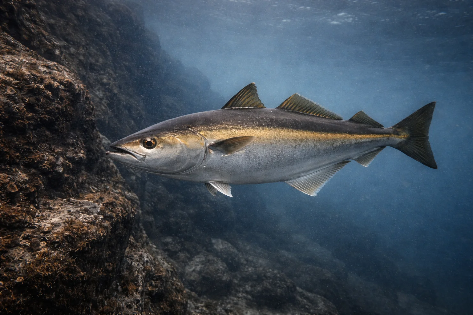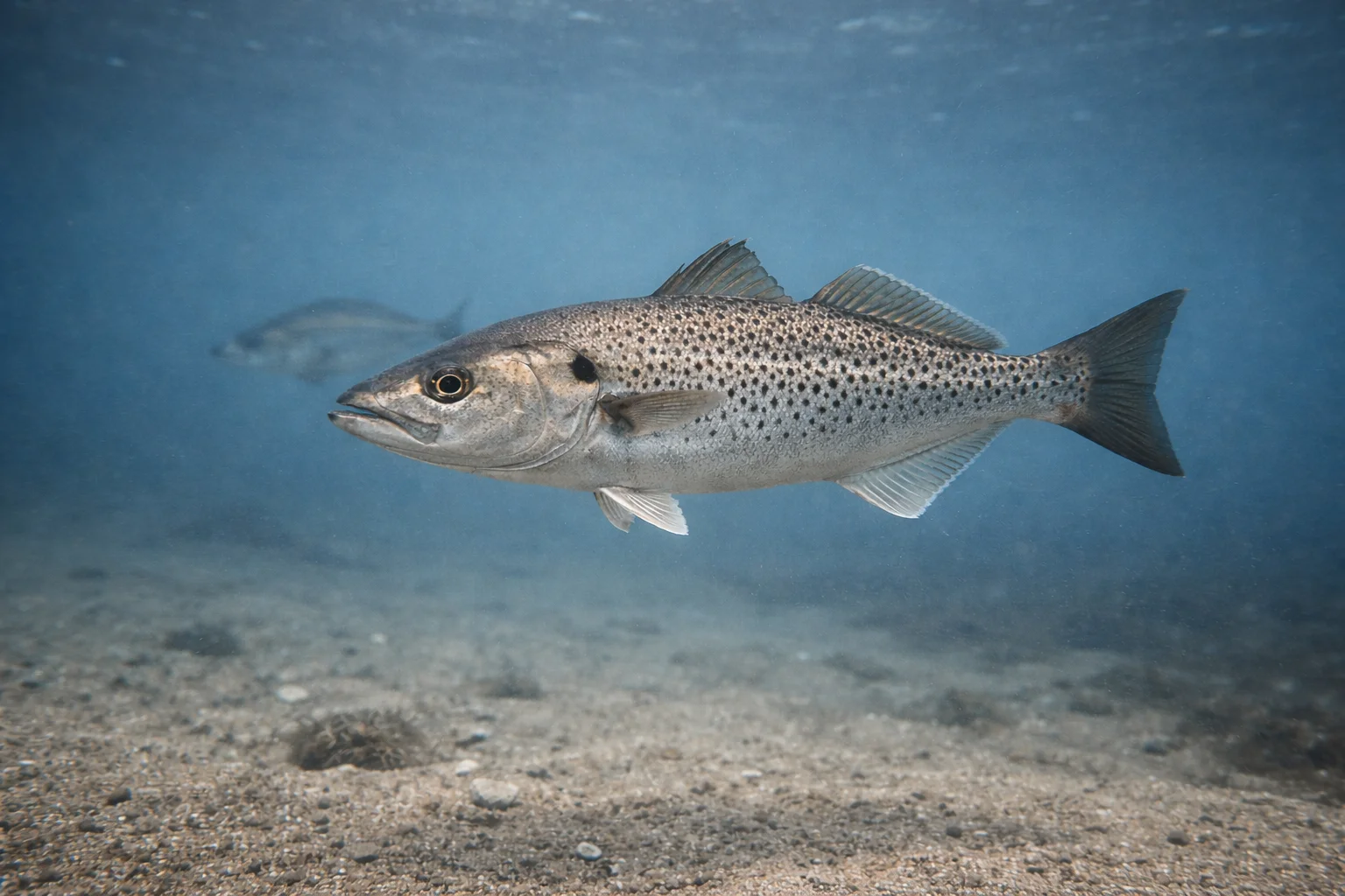
At sea, a successful trip doesn't just come down to picking a spot. To make the most of a day out on the boat, you need to locate the sectors where several favourable conditions come together: available food, currents, water temperature, depth, seabed relief and target species.
The goal is simple: prepare your trip better, compare the possible areas and avoid burning nautical miles over sectors with little activity. This is exactly what FishPredict helps you anticipate, by helping anglers visualise the most favourable areas before heading out to sea.
What makes a good sea fishing area?
A good sea fishing area isn't just somewhere fish have already been caught. It's a sector that becomes interesting because current conditions can concentrate activity there.
In practice, an area deserves watching when it brings together several signals:
- food can build up there;
- the current or tide creates movement;
- water temperature stays favourable for the target species;
- depth and relief match the behaviour of the targeted fish;
- the area is active at the right time of day or tide.
It's this combination that makes the difference. A well-known spot can disappoint if conditions aren't right, while a less obvious sector can become very interesting when food, current and target species line up at the right moment.
Areas to watch depending on conditions and species
Not all sea areas are equal. A sector becomes interesting when it combines a type of habitat, favourable conditions and a species likely to find food or a hunting spot there.
To stay practical, it helps to think in three simple questions: what type of area am I looking at, what conditions could create activity there, and which FishPredict species are the best match for this sector?
The main families of areas to compare
Some areas deserve priority attention because they naturally concentrate more life or offer habitats favourable to fish.
The main physical areas to compare are:
- drop-offs and ledges: sudden depth changes, migration corridors, hunting zones;
- rocks, wrecks and plateaus: structured habitats, shelter, holding spots;
- estuaries and river mouths: nutrient input, salinity variation, tidal activity;
- churned coastal areas: sectors exposed to current, waves or water movement;
- open water: more open sectors, often interesting when food concentrates.
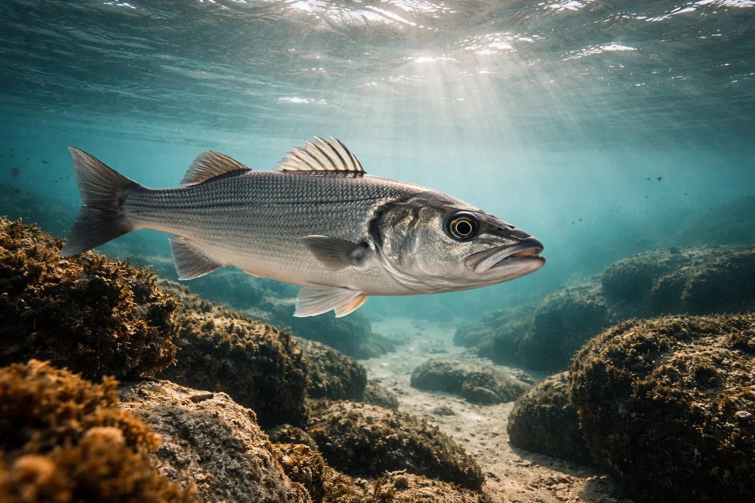
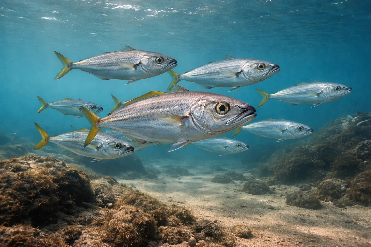
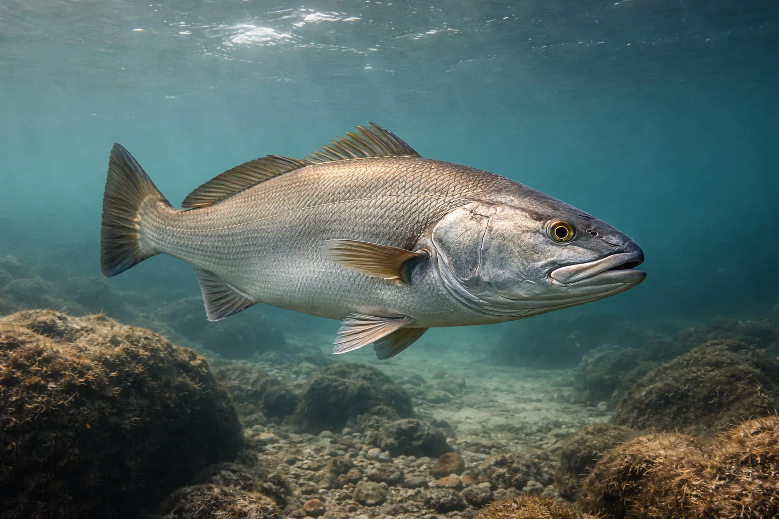
The table below links these major habitats to the species present in FishPredict.
Key: ●●● very favourable · ●● favourable · ● possible
| Habitat / physical area | Seabass | Meagre | Pollack | Horse mackerel | Spotted seabass |
|---|---|---|---|---|---|
| Estuaries / river mouths | ●●● | ●●● | ● | ● | ●● |
| Rocks / plateaus | ●●● | ● | ●●● | ● | ●●● |
| Drop-offs / ledges | ●● | ● | ●●● | ● | ●● |
| Wrecks / structures | ●● | ● | ●●● | ● | ●● |
| Churned coastal areas | ●●● | ●● | ● | ●● | ●●● |
| Open water | ● | ● | ● | ●●● | ● |
This first reading stays tied to habitat. It helps you know which species can be consistent with a given area, but it isn't enough on its own: conditions on the day can either strengthen or limit a sector's interest.
The environmental signals that strengthen an area
An interesting habitat doesn't guarantee a good trip. A ledge, a wreck or a river mouth becomes especially relevant when environmental signals indicate that food or activity could be concentrating there.
This is where marine data becomes valuable: it lets you compare several sectors before setting off and avoid relying purely on habit.
Reading current edges, active boundaries and the water temperature and sea fishing also helps explain why some sectors become more interesting than others depending on the conditions of the moment.
Key: ●●● strong signal · ●● useful signal · ● secondary signal
| Environmental signal | Seabass | Meagre | Pollack | Horse mackerel | Spotted seabass |
|---|---|---|---|---|---|
| Current edges | ●●● | ●● | ●● | ●● | ●● |
| Current convergence | ●●● | ●● | ● | ●●● | ● |
| Thermal front | ●●● | ●● | ● | ●●● | ● |
| Chlorophyll front | ●● | ●● | ●● | ●●● | ● |
| Salinity break | ●● | ●●● | ● | ● | ●●● |
| Chlorophyll / zooplankton | ●● | ●● | ●● | ●●● | ● |
| Marked thermocline | ●● | ●● | ● | ●● | ● |
This table shows why the same area can change in interest depending on conditions. A rocky plateau, a river mouth or a current edge becomes more interesting when the environmental signals also match the targeted species.
Why cross-reference habitat and conditions
The right approach is to combine both readings: habitat first, then the conditions of the moment. A sector can be well placed on the map but not very active if temperature, current or biological activity aren't favourable.
Conversely, a less obvious area can become interesting when several signals overlap: active current, available food, consistent temperature and a species present in that type of habitat.
To go further, check the detailed guides for seabass, meagre, pollack, horse mackerel and spotted seabass.
How does FishPredict help spot favourable areas?
FishPredict cross-references several marine signals:
- surface temperature;
- currents;
- salinity;
- chlorophyll;
- zooplankton;
- depth;
- seabed relief;
- tides;
- each species' biological preferences.
FishPredict doesn't give you a magic spot. The app helps you visualise the areas where several conditions become favourable at the same time, up to 4 days ahead.
FAQ
How do you find a good sea fishing area?
A good area is spotted by cross-referencing several criteria: current, temperature, depth, relief, available food, season and target species.
Which areas should you watch first?
Drop-offs, ledges, rocks, wrecks, estuaries, current edges, convergence zones and ocean fronts are often interesting sectors.
Why are fronts and currents important?
They can concentrate food, plankton and small fish, and therefore attract predators.
Does FishPredict give exact spots?
FishPredict helps you spot favourable areas based on conditions and the target species. The app doesn't replace an angler's experience, but it helps you prepare your trip better.